http://www.carletonwatkins.org/index.php close window
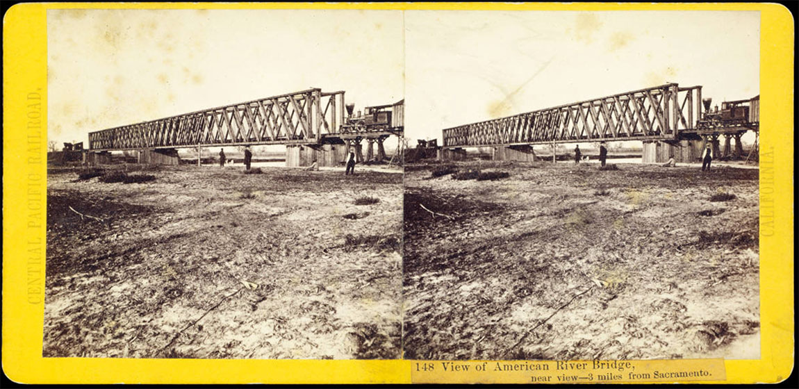
Watkins #148 - View of American River Bridge, 3 miles from Sacramento
Image courtesy of: The Huntington Library   (Accession Number photCL 184 (148))
Photographers number:148
Title:View of American River Bridge, 3 miles from Sacramento
Notes:A.A. Hart mount

Photographer:Alfred A Hart   (Mar 28, 1816 — Mar 5, 1908;  Active approx. 1862 — 1869)
Publisher:Alfred A Hart
Format:Stereograph

View this image in gallery:High Sierra and Sacramento
Link to image source:http://hdl.huntington.org/cdm/ref/collection/p15150coll2/id/5109
CarletonWatkins.org Image ID:1004833
Tags:
The contents of CarletonWatkins.org website are subject to Conditions of Use — Copyright © 2003-2024 Carletonwatkins.org

    Instructions:

  1. Tag Selection Box - Type in the Tag Selection Box to choose from a dropdown-list of tags. Add as many tags as needed. Click 'Save Tag Selections' when done.
  2. Suggested Tags - Click on any Suggested Tag to conveniently add to the Tag Selection Box.
  3. Create Tag - Create a new tag if a tag cannot be found in the Tag Selection Box dropdown-list.
Suggested tags from images with similar titles (click to add)
NumberSimilar Title
155View of the Forks of the American River, 3 miles above Alta
unnumbered[12 stereo halves numbered 123 through 138]
  • Vernal Fall (no. 123)
  • Vernal Fall (no. 124)
  • Sentinel, 3270 from above (no. 127)
  • Cathedral Spires (no. 128)
  • Phono, Bridal Veil (no. 131)
  • Giant's Gap, American River (no. 132)
  • American River (no. 133)
  • Bear Valley, 85 m from Sacramento (no. 134)
  • Trestle Bridge, Newcastle, Placer Co. (no. 135)
  • Auburn Ravine (no. 136)
  • No. 1 Tunnel, Grizzly Hill (no. 137)
  • Cape Horn from below (no. 138)
6View in Dutch Ravine, 32 miles from Sacramento
44American River and Canyon from Cape Horn. River below Railroad 1,400 feet. 57 miles from Sacramento
76Giant's Gap, American River, 2,500 feet perpendicular 72 miles from Sacramento
78Green Bluffs, 1,500 above American River. 71 miles from Sacramento
105New Hampshire Rocks on Yuba River. Summer View. 96 miles from Sacramento
| | | | | |
Create a New Tag
  • Before creating a new tag check for a similar or equivalent tag.
  • Avoid long tag names. Use a single word or as few words as possible.
  • Don't use abbreviations or contractions.
  • In general tags should be singular rather than plural (tree, not trees, etc.).
  • Spell out street numbers (First Street rather than 1st Street).
  • If the text of a tag needs to be edited after it's created send an email request to information@carletonwatkins.org.